Hike #12 - Stokes State Forest
Hike Date - Saturday, November 16th
(This is our second attempt, the first, scheduled for this pass summer had to be canceled)
For this hike we'll head to a northwest NJ staple, Stokes State Forest, a 16,000 acre woodland nestled in the Kittatinny Mountains. Many long-time NJ residents likely have taken an overnight middle school trip the cabins in the valley. The pay-off is a great view from Sunrise Mountain, the second tallest 'peak' in New Jersey at 1,653 feet above sea level.
- Length - Appx 10.1 Miles
- Elevation Gain - ~1400 feet
- Difficulty - Moderate to Challenging
- Expected Duration - 4-7 hours
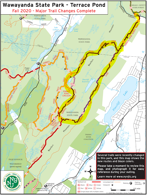
- Park Trail Map - Stokes State Forest or courtesy of NYNJTC
- Our Route - Here
- Parking Location - Stony Lake Parking - arrive via main Stokes entrance, drive down Coursen Rd and make a right at the end to get to the trail lot. (Follow signs for Stony Lake). GPS Coordinates: 41.203732, -74.772489 and Google Maps link
- Restrooms - At the visitors center on the way in, and apparently there is an out-house at Sunrise Mountain, about halfway through the hike, though some references state this is only open after Memorial Day.
None of us have hiked this exact route, though Lou has hiked in Stokes before. This route comes recommended from njhiking.com, and they've never steered us wrong in the past. We should see some several wonderful views from the ridge line and enjoy a few stream crossing and dense hardwood forests typical of northern NJ.
Below is the elevation profile of our route, and you can see a wonderful steep section beginning around the 2.5 mile mark, plan on 650-700 ft over 2.5 miles, nothing we have not done before! Sunrise Mountain is at the top of this climb.
Blazes and Mileage
- 4.0 M - Blue Mountain Trail (Blue, east)
- 0.2 M - Blue Loop Connector (Black?, north)
- 3.7 M - Appalachian Trail (White, West)
- 1.6 M - Tower Trail (Green, north)
- 0.6 M - Stony Brook (Brown, west)


Comments
Post a Comment